
What is a Watershed?

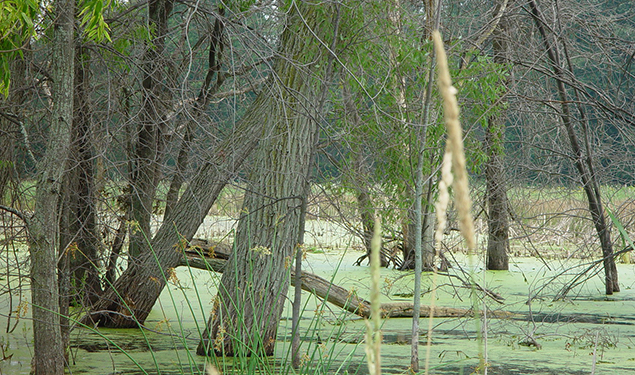
A watershed is an area of land that drains rainwater or melting snow to a common location such as a stream, lake, wetland. In our case that’s the Grand River and all its tributaries. These supply our drinking water, water for agriculture and manufacturing, provide opportunities to paddle, fish, or swim, and provide habitat for numerous plants and animals.
An irreplaceable part of our ecosystem.
Michigan’s Longest River
The mainstem of the Grand River flows more than 250 miles from its headwater lakes in Hillsdale County to Lake Michigan at Grand Haven. Along the way it's joined by another 5,320 miles of tributary streams. From a fish’s perspective the river can be divided into five different pieces grouped by flow and geology, but we humans like to keep it simpler by dividing it into the Upper, Middle, and Lower Grand River subwatersheds. Those terms can be a bit confusing because, when you look at a map, the "Upper Grand" is at the bottom. "Upper" refers to upstream, and the river flows north (downstream), from its headwaters in south-central Michigan, to its mouth where it meets the big lake.
Recreation
The 700 square miles in the Upper Grand River subwatershed, and 5,575 square miles in the Grand River Watershed provide numerous opportunities for hiking, birding, paddling, hunting, fishing, swimming, star-gazing, and other outdoor activities. Of these activities, paddles sports (canoeing, kayaking, stand-up paddleboarding) are among the most popular and fastest growing forms of recreation. We encourage everyone to get out and explore the river in whatever way they choose; knowing that the more people get to know the river, the more people will want to protect it. We're trying to make this even easier by developing Michigan's longest water trail.